Madhya Pradesh

About Madhya Pradesh
Landlocked in the central part of the country, Madhya Pradesh is bordered by the states of Rajasthan to its northwest, Uttar Pradesh to its north, Chhattisgarh to its east, Maharashtra to its south, and Gujarat to its west. Madhya Pradesh had the honour of being the largest state of the country until Chhattisgarh was carved out of it on 1 November 2000.
Madhya Pradesh has a mixed topography that consists of both hills and plains. The state has three predominant seasons: winter (November to February), summer (March to May), and the monsoon season (June to September). During the winter, average temperatures range from 10° to 27° C (50° to 81° F). Summers are hot, with an average temperature of 29° C (85° F) and a high temperature that at times reaches 48° C (118° F). During the monsoon season average temperature lies between average 19° to 30° C (66° to 86°). Madhya Pradesh receives an average annual rainfall of about 1200 mm (nearly 50 inches), of which 90 percent falls during the monsoon season. The capital of the state is Bhopal.
| Facts on Madhya Pradesh | |
|---|---|
| Official Website | www.mp.nic.in |
| Date of Formation | Nov 1, 1956 |
| Area | 308,244 sq km |
| Density | 236/Km2 |
| Population (2011) | 72,626,809 |
| Males Population (2011) | 37,612,306 |
| Females Population (2011) | 35,014,503 |
| No. of District | 51 |
| Capital | Bhopal |
| Rivers | Narmada, Tapti, Ken, Betwa, Son, Chambal |
| Forests & National Park | Bandhavgarh NP, Kanha NP, Pench NP, Kheoni WS |
| Languages | Punjabi, Malvi, Nimadi, Punjabi, Bhilodi, Gondi, Korku, Kalto, Nihali |
| Neighbours State | Maharashtra, Gujarat, Rajasthan, Uttar Pradesh, Chhattisgarh |
| State Animal | Swamp Deer |
| State Bird | Paradise Fly-catcher |
| State Tree | Banyan |
| Net State Domestic Product (2011) | 32222 |
| Literacy Rate (2011) | 82.91% |
| Females per 1000 males | 930 |
| Assembly constituency | 230 |
| Parliamentary constituency | 29 |
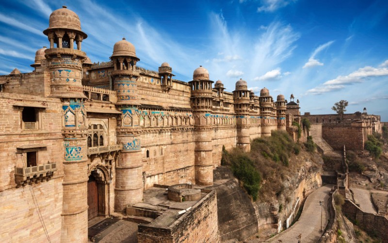
Tourism of Madhya Pradesh
The state of Madhya Pradesh is literally the 'heart' of India. The state's tourism is a journey to the center of the magical and mysterious country known as India. Madhya Pradesh tourism brings to light the many monuments, exquisitely carved temples, forts and palaces that dot the state of Madhya Pradesh. Tourism lays bare the irresistible natural beauty of the state. The topography of the beautiful land is predominantly a plateau, and that plateau is interspersed by stunning mountain ranges, gurgling streams, meandering slow rivers and miles and miles of dense, thick forestland.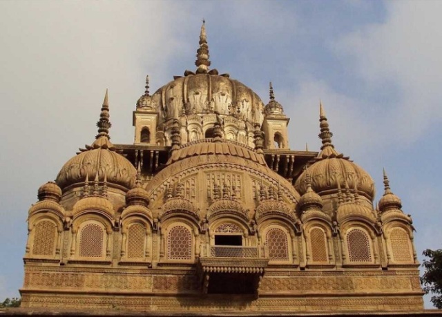


Comments
Post a Comment