Meghalaya
About Meghalaya
Meghalaya, the Abode of Clouds, is a state in the Northeast region of India. The state has a total area of 22,429 sq km and about one third of the state is under mountain forest cover. Meghalaya has a total population of 29,66,889, as per the 2011 census. Shillong is the capital of Meghalaya. The state is surrounded by Assam to its north and Bangladesh to its south.
Meghalaya lies in the Northeastern part of India. The fact remains that a major part of the border of the state is situated on the north and eastern part of Assam. The south and west part are with Bangladesh. It is possible to consider Meghalaya as the wettest state in the country, experiencing an annual rainfall of 1,200 cm. There are numerous rivers including Ganol, Umiam, Umngot, Umkhem and Damring. Apart from the aforementioned rivers, you can also find a number of other rivers such as Umiam Mawphlang and Khri.
| Facts on Meghalaya | |
|---|---|
| Official Website | www.meghalaya.gov.in |
| Date of Formation | Jan 21, 1972 |
| Area | 22,429 sq km |
| Density | 132/Km2 |
| Population (2011) | 2,966,889 |
| Males Population (2011) | 1,491,832 |
| Females Population (2011) | 1,475,057 |
| Population Growth (2011) | 27.82% |
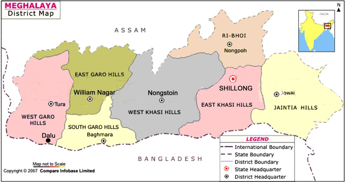
| No. of District | 11 |
| Capital | Shillong |
| Rivers | Khasi, Pnar, Garo. Sanda, Daring, Bhogai, Bandra, Simsang, Dareng, Bhupai, Nitai |
| Forests & National Park | Balpakram NP, Nokrek NP Siju Bird Sanctuary, Nongkhyllem WS |
| Languages | Khasi, Bengali, Garo, Hindi, English |
| Neighbours State | Assam |
| State Animal | Clouded Leopard |
| State Bird | Hill Myna |
| State Tree | Gamari |
| State Flower | Lady Slipper Orchid |
| Net State Domestic Product (2011) | 50,427 |
| Literacy Rate (2011) | 91.58% |
| Females per 1000 males | 986 |
| Assembly constituency | 60 |
| Parliamentary constituency | 2 |
Tourism of Meghalaya
It will not be erroneous to say that Meghalaya assumes significance as a major part of the economy. The state has also evolved to a great extent during recent years. The fact remains that the initiative taken on the part of the Meghalaya government has helped the state to enjoy a new dimension. A few of the important tourist destinations you can associate with the state include Shillong, Mawsynram and Cheerapunjee. You are most likely to find a number of sites that further boosts the interest among concerned tourists including Monotiths in Khasi Hills, Jakrem, Jowai and Balpakram National Park. Apart from the aforementioned tourist locations, you can also find Natiang, Nokrek Biosphere, Tura and Siju Caves worth watching.


Comments
Post a Comment